|
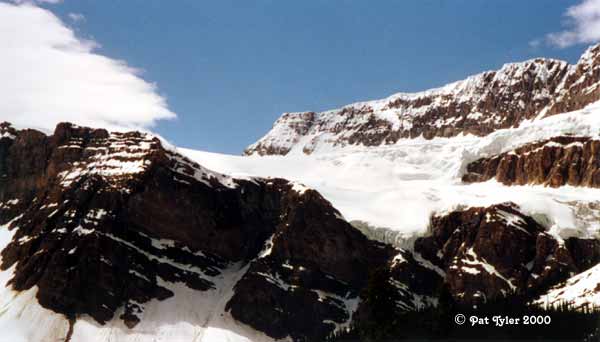
Here is a glacier. This one, seen early in the Icefields trip, is probably fed by the Wapta Icefield,
out of our view, high on top of the ridge.
We got the definition of a glacier from a park ranger in Glacier National Park.
He said the difference between a glacier and an ice pack that fails to melt in the summer is movement.
To be a glacier, the ice pack must move by the force of gravity.
|