|
During the last ice age, a huge lake formed as the northern glaciers expanded. Water pooled behind a dam of ice, forming lake Missoula. Eventurally the amount of water became so great that the ice dam floated out of the way.
A surge of water swept across parts of Northern Idaho and Eastern Washington. Geologists believe this process happened again and again, forming much of the landscape of Eastern Washington.
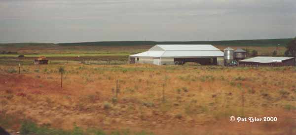
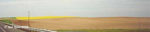
According to a film shown at the Visitors Center at Grand Coulee Dam, the rolling hills of the Palouse look exactly like ripples in the sand, such as those found on a lake shore.
Palouse of Eastern Washington Geology Links:
Physical History of the Palouse.
Geology of the
Palouse region of Washington.
The Missoula
flood.
The geology of the
Palouse of Eastern Washington.
|