Click this image to go to the next page.

In this set of pictures we will pass through the Gatun Locks on the northeast end of the canal. We'll be watching the gates open and close, and the water levels lower this time. We are going down the "elevator" back to sea level again.

Click this image to go to the next page.
 
Click this image to go to the next page.

We will use the left set of 3 locks. We will usually only be able to see one chamber at a time because the next one will be lower and hidden by the gate. Above: We can see that the water level is the same as that of Gatun Lake in all but the lock chamber on the right. Past the first gate we can see that the water level is much lower than on the left. The gates in front of us are opening to allow our ship into the first chamber.

Click this image to go to the next page.
 
Click this image to go to the next page.

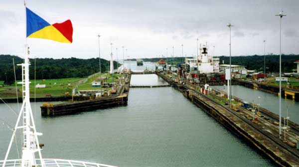
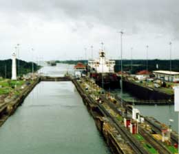
As we move forward we can see the low water level in the chamber on the right of the one that we are entering.

Click this image to go to the next page.
 
Click this image to go to the next page.

We are now close enough to see the second lock chamber, the one we will enter next. 
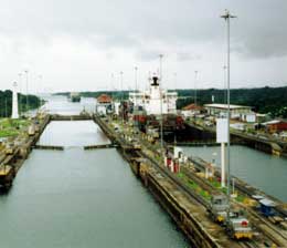
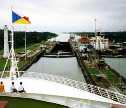
In the picture on the right, we can see that the water level is much lower than the water in the chamber we are in.

Click this image to go to the next page.

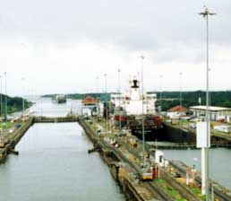
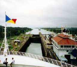
We are in position for them to let the water level lower in the chamber we are in. Notice the chamber to the right has a much higher level than we do.

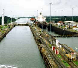
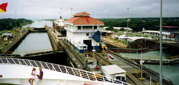
Just like at Miraflores, the U.S. flag does not fly at this control building as it once did.