.png)
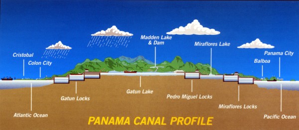
The illustration above shows the profile of the canal.
Three locks lift the ships 85 feet to the artificial lake at the top of the canal.
Then three at the other side return the ships to sea level.
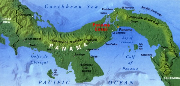
Below is a map of Panama.
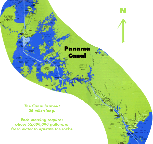
The canal and the buffer zone was ceded to Panama effective 12/31/99.
Credits
Canal Map and Map of Panama by Eureka Cartography.
Profile Map: Courtesy of the Panama Canal Commission.
These maps were published in
PORTRAIT OF THE PANAMA CANAL
by Graphic Arts Center Publishing Company
P O Box 10306, Portland, Oregon 97296-0306
503-226-2406